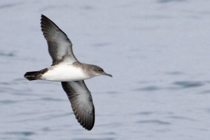
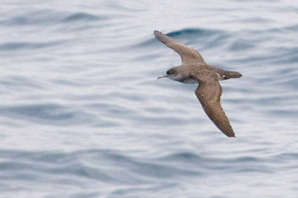
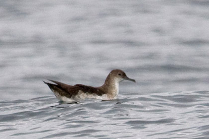
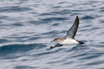
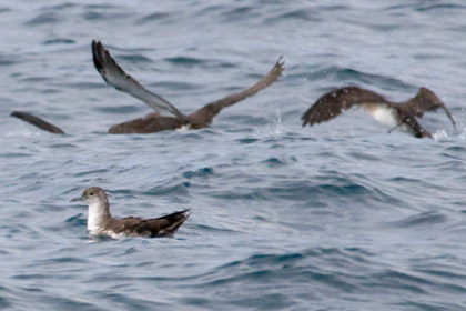
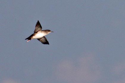
GALLERIES > BIRDS > PROCELLARIIFORMES > PROCELLARIIDAE > BLACK-VENTED SHEARWATER [Puffinus opisthomelas] [plot on map]
Location: Tijuana (Coronado Islands), MexicoGPS: 32.4N, -117.2W, elev=0' MAP Date: November 22, 2008 ID : 7C2V1931 [3888 x 2592]
|
Location: Tijuana (Coronado Islands), MexicoGPS: 32.4N, -117.2W, elev=0' MAP Date: November 22, 2008 ID : 7C2V1915 [3888 x 2592]
|

|
Location: Redondo Beach (pelagic waters), CAGPS: 33.7N, -118.6W, depth=-2,096' MAP Date: June 24, 2023 ID : B13K5006 [4896 x 3264]
|
|

|
Location: Tijuana (Coronado Islands), MexicoGPS: 32.4N, -117.2W, elev=0' MAP Date: November 22, 2008 ID : 7C2V1929 [3888 x 2592]
|
Location: Tijuana (Coronado Islands), MexicoGPS: 32.4N, -117.2W, elev=0' MAP Date: November 22, 2008 ID : 7C2V1890 [3888 x 2592]
|

|
Location: Orange County (pelagic waters), CAGPS: 33.5N, -118.1W, depth=-762' MAP Date: February 28, 2016 ID : B13K0763 [4896 x 3264]
|
|

|
Location: Orange County (pelagic waters), CAGPS: 33.5N, -118.1W, depth=-762' MAP Date: February 28, 2016 ID : B13K0803 [4896 x 3264]
|
|

|
Location: Orange County (pelagic waters), CAGPS: 33.5N, -118.1W, depth=-762' MAP Date: February 28, 2016 ID : B13K0782 [4896 x 3264]
|
|

|
Location: Orange County (pelagic waters), CAGPS: 33.5N, -118.1W, depth=-762' MAP Date: February 28, 2016 ID : B13K0791 [4896 x 3264]
|
|

|
Location: Orange County (pelagic waters), CAGPS: 33.5N, -118.1W, depth=-762' MAP Date: February 28, 2016 ID : B13K0888 [4896 x 3264]
|
|

|
Location: Tijuana (Coronado Islands), MexicoGPS: 32.4N, -117.2W, elev=0' MAP Date: November 22, 2008 ID : 7C2V1910 [3888 x 2592]
|
Location: Tijuana (Coronado Islands), MexicoGPS: 32.4N, -117.2W, elev=0' MAP Date: November 22, 2008 ID : 7C2V1983 [3888 x 2592]
|

|
Location: Tijuana (Coronado Islands), MexicoGPS: 32.4N, -117.2W, elev=0' MAP Date: October 4, 2008 ID : 7C2V8972 [3888 x 2592]
|
Location: Tijuana (Coronado Islands), MexicoGPS: 32.4N, -117.2W, elev=0' MAP Date: October 4, 2008 ID : 7C2V9366 [3888 x 2592]
|

|
Location: Tijuana (Coronado Islands), MexicoGPS: 32.4N, -117.2W, elev=0' MAP Date: October 4, 2008 ID : 7C2V8914 [3888 x 2592]
|
Location: Tijuana (Coronado Islands), MexicoGPS: 32.4N, -117.2W, elev=0' MAP Date: October 4, 2008 ID : 7C2V9245 [3888 x 2592]
|

|
Location: Tijuana (Coronado Islands), MexicoGPS: 32.4N, -117.2W, elev=0' MAP Date: October 4, 2008 ID : 7C2V9420 [3888 x 2592]
|
Location: Santa Cruz Island, CAGPS: 34.0N, -119.7W, elev=600' MAP Date: September 29, 2001 ID : 0570 [3888 x 2592]
|

|
SPECIES INFO
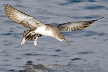
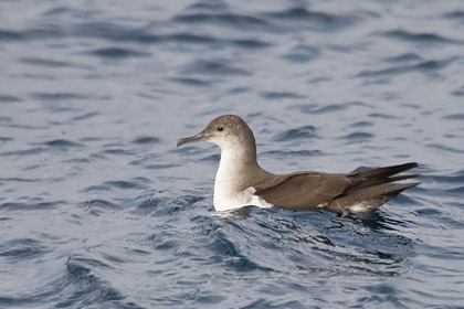
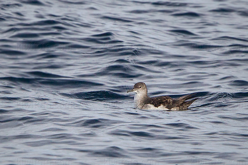
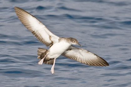
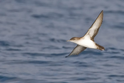
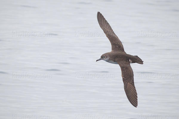
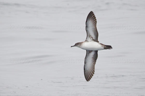
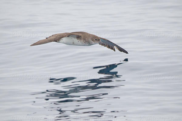
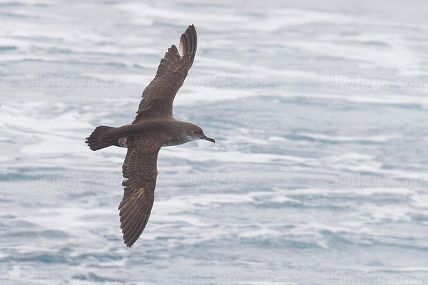
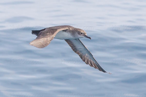
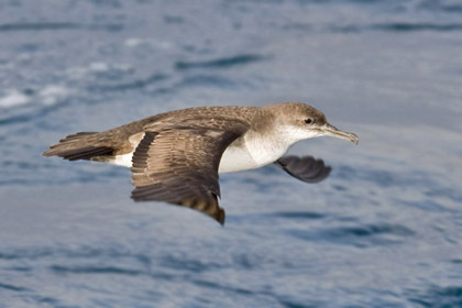
The Black-vented Shearwater (Puffinus opisthomlas) is a species of seabird. The bird is 30-38 cm in size, with a 76-89 cm wingspan. Formerly considered a subspecies of the Manx Shearwater, its actual relationships are unresolved.
This species is pelagic, occurring in the Pacific Ocean. It comes closer to land than most other shearwaters, so it sometimes can be seen from shore. It predominantly nests on offshore islands off the Baja California, namely Isla de Guadalupe, Islas San Benito and Isla Natividad. It is fairly common off the United States coast of central and southern California during the country's colder months.
Black-vented Shearwater is thought to feed on mainly small fish. This bird nests in burrows and caves; it is a colonial nester.
In the past, this bird had been threatened by feral cats and other predators on its breeding islands, but the problem seems to have been largely eliminated. There is some loss of birds from commercial gill netting, and the species is classified as Near Threatened by the IUCN mainly due to the uncertain impact it of the expanding fishing industry.
|
|

