GALLERIES > BIRDS > PASSERIFORMES > TYRANNIDAE > WESTERN KINGBIRD [Tyrannus verticalis] [plot on map]
Location: Solvang, CAGPS: 34.6N, -120.1W, elev=498' MAP Date: July 15, 2007 ID : ? [3888 x 2592]
|
|

|
Location: Los Angeles, CAGPS: 34.1N, -118.2W, elev=281' MAP Date: April 24, 2013 ID : B13K2331 [4896 x 3264]
|
|
|
Location: Santa Paula (Teague Park), CAGPS: 34.3N, -119.1W, elev=389' MAP Date: August 2, 2014 ID : B13K6497 [4896 x 3264]
|
|
|
Location: Santa Paula (Teague Park), CAGPS: 34.3N, -119.1W, elev=389' MAP Date: August 2, 2014 ID : B13K6444 [4896 x 3264]
|
|
|
Location: Santa Paula (Teague Park), CAGPS: 34.3N, -119.1W, elev=389' MAP Date: August 2, 2014 ID : B13K6457 [4896 x 3264]
|
|
|
Location: Santa Paula (Teague Park), CAGPS: 34.3N, -119.1W, elev=389' MAP Date: August 2, 2014 ID : B13K6458 [4896 x 3264]
|
|
|
Location: Santa Paula (Teague Park), CAGPS: 34.3N, -119.1W, elev=389' MAP Date: August 2, 2014 ID : B13K6459 [4896 x 3264]
|
|
|
Location: Santa Paula (Teague Park), CAGPS: 34.3N, -119.1W, elev=389' MAP Date: August 2, 2014 ID : B13K6460 [4896 x 3264]
|
|
|
Location: Santa Paula (Teague Park), CAGPS: 34.3N, -119.1W, elev=389' MAP Date: August 2, 2014 ID : B13K6461 [4896 x 3264]
|
|
|
Location: Santa Paula (Teague Park), CAGPS: 34.3N, -119.1W, elev=389' MAP Date: August 2, 2014 ID : B13K6428 [4896 x 3264]
|
|
|
Location: Arivaca, AZGPS: 31.6N, -111.3W, elev=3,624' MAP Date: August 23, 2008 ID : 7C2V7349 [3888 x 2592]
|
Location: Arivaca, AZGPS: 31.6N, -111.3W, elev=3,624' MAP Date: August 23, 2008 ID : 7C2V7347 [3888 x 2592]
|
|
SPECIES INFO
The Western Kingbird (Tyrannus verticalis) is a large tyrant flycatcher.
Adults are grey-olive on the upperparts with a grey head and a dark line through the eyes; the underparts are light becoming light orange-yellow on the lower breast and belly. They have a long black tail with white outer feathers.
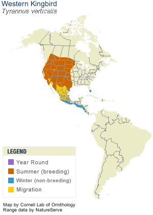
Their breeding habitat is open areas in western North America. They make a sturdy cup nest in a tree or shrub, sometimes on top of a pole or other man-made structure. The name kingbird is derived from their "take-charge" behavior. These birds aggressively defend their territory, even against much larger birds such as hawks.
These birds migrate in flocks to Florida and the Pacific coast of southern Mexico and Central America.
They wait on an open perch and fly out to catch insects in flight, sometimes hovering and then dropping to catch food on the ground. They also eat berries.
The song is a squeaky chatter. The call is a sharp loud whit.
|
|


")


